Our Services in Detail
Learn more about our services
Agriculture
With the need for more farms in the UK, our Agricultural consultants can assist seasoned and new farmers with a number of issues.
Arable farms can be assisted with agronomy (the science of producing crops for food), which includes plant genetics and soil science, as well as crop management, rotation, and protection against disease and pests.
Dairy farms can be supported in livestock ownership, health, and management (animal welfare); this includes herd metrics. The management of the nutritional values of the food, grassland, and forage for the livestock.
The consultants are also able to assist with soil and manure management, including soil testing, ground nutrient management plans, and slurry/waste management.

Air Quality Assessments
World Governments and the World Health Organisation (WHO) are continually working to address air quality issues. Air pollution, such as particulate matter (PM2.5 and PM10), is inhaled and penetrates deep into the lungs, particularly the bronchiole and alveoli, causing respiratory and cardiac illness in humans and potentially leading to strokes.
These pollutants come from common gases such as nitrogen dioxide (NO2), Sulphur dioxide (SO2), and ground-level ozone (O3). These gases are created through industrial work releasing fumes into the air, the burning of fossil fuels, and vehicle emissions.
Our Air Quality engineers have the tools and technology to test and monitor air quality and can produce management plans to reduce the release of dangerous gases and pollutants. They also have the equipment to monitor and manage dust issues within the working environments.
Arboriculture
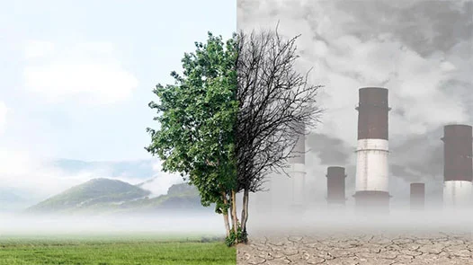
We all see trees everywhere we go. They play a critical role in producing the oxygen we need to survive. Trees absorb carbon dioxide CO2 through photosynthesis. Their leaves (canopy) trap dust and particulates, reducing the amount we would normally inhale, and provide shade when it is hot.
Arboriculture is the scientific practice of tree care, management, and monitoring any ongoing issues.
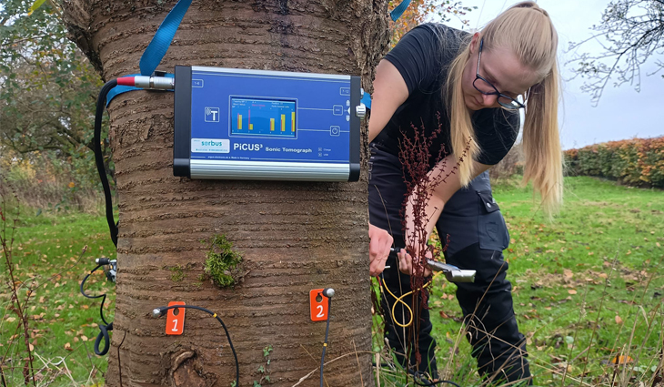
Castledine & Co have arborists who monitor and manage not only tree care and maintenance, but also shrubs, vines, and woody perennials. They will advise on the best tree species to plant in certain areas and advise on soil care and which fertilizer to use. They will produce a plan to eradicate the tree of pests/diseases.
Archaeology
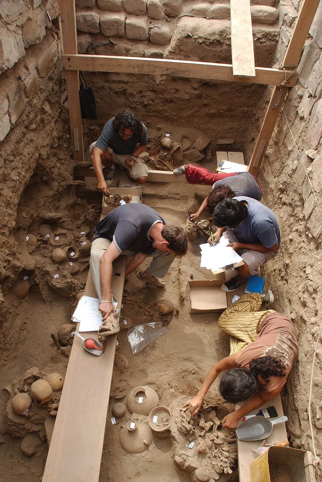
Our country has had more than it's fare share of battles and conflicts through the centuries. Many of our fields will have hidden artifacts which can tell us a lot about our ancesters. Archaeologists are able to fly a drone over a certain area of ground and dipict outlines of previous buildings that are now buried. They will use Ground-penetrating radar as well as other geophysical equipment.
If you have a suspision of an archaeological site under a field you plan to develop on, it would be best practice to contact Castledine & Co. Our archaeologists can complete all tests and field work to find the possible artifacts before you start to develop your site, which will save you money and time, but also it could save you from costly legal actions.
Asbestos
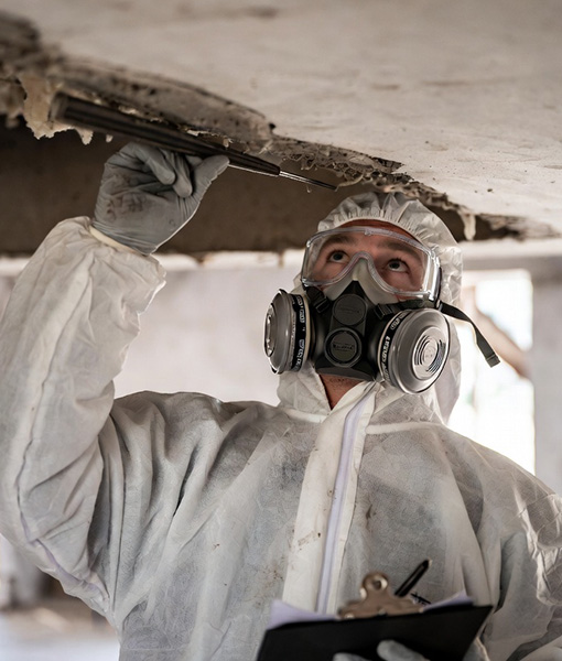
Everyone has heard of Asbestos; it was once a common material in construction. It is a naturally formed fibrous mineral found deep inside the Earth's crust. Because of its resistance to heat, fire, electricity, and even chemical corrosion, design engineers have incorporated the material into thousands of materials, even clothing.
Although it is a fantastic natural fire retardant, it is very dangerous to the workers who use it. Because of the microscopic fibres, which, once inhaled, stick to the lining of the lungs and the body is unable to expel them. The fibres cause awful conditions such as lung cancer asbestosis, pleural thickening (inner lining of the lung) and mesothelioma (a form of cancer in the lung lining).
Specialised asbestos engineers will test for this mineral, safe sampling will be performed and sent to a laboratory where it will be tested.
Ecology
Ecology is the scientific study and evaluation of all living organisms and the physical environment in which they live. The science is placed into 2 sectors: biotic (all living organisms)
Abiotic (non-living elements, air, water, sunlight). It is so important to look after our ecosystem; without it, we would not exist. Trees and certain woody plants provide us with oxygen, and bees and wasps pollinate the vegetables we eat. The weather is changing due to global warming, resulting in the melting of the polar caps. Ecologists monitor and document changes in the ecosystem. They produce plans to monitor and manage wildlife habitats and develop Biodiversity Net Gains (replacing habitat that has been removed plus an extra 10%). They monitor the areas where bats roost and birds nest.
Fire Risk Assessment
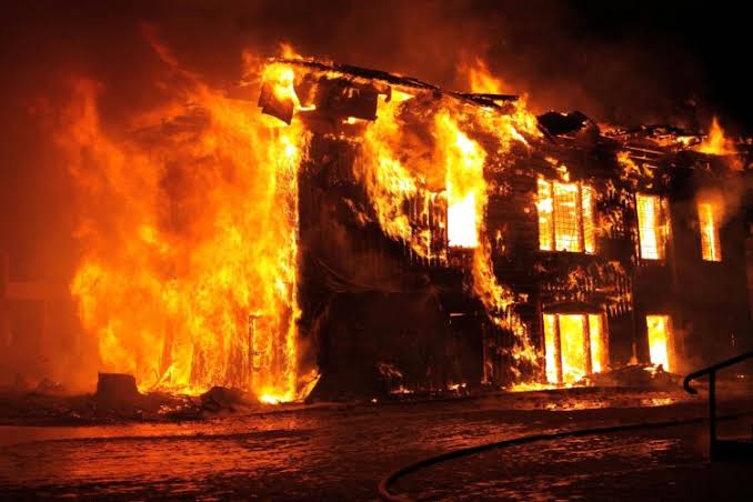
Fire is destructive and will end life. It can start in many ways. As long as there are three elements- HEAT, OXYGEN, and FUEL- a fire can start and will continue to burn until at least one element is removed. In homes, there are many materials that, if on fire, will release toxic fumes, and in factories or industrial buildings, there are also items that will explode if fire attacks them. Our specialised Fire Risk Engineers will assess your properties.
They will survey the building looking for sources of ignition, faulty appliances, including gas mains and electrical points. They will produce a plan that outlines improvements such as means of escape, smoke detectors, heat detectors, and correct extinguishers.
Flood Risk Assessment
Flood water is a destructive element. Once flood water gets moving, not much can stop or control it. It will destroy homes, industry, and even the economic infrastructure. It will take the lives of all living creatures who are caught in its flow. Once the flood water has receded, devastation is left. Nasty viruses can result from flood water, such as Legionnaires' disease, typhoid, and Weil's disease.
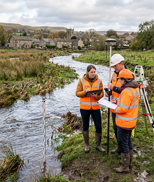
A Flood Risk Engineer will evaluate all sources of potential flooding to a designated place. Once they have all the data needed, they will produce a mitigation plan that will prevent the designated site flooding in future but also stop flood water traveling to another site. Protecting the buildings, other properties and the surrounding environment.
Japanese Knotweed Survey
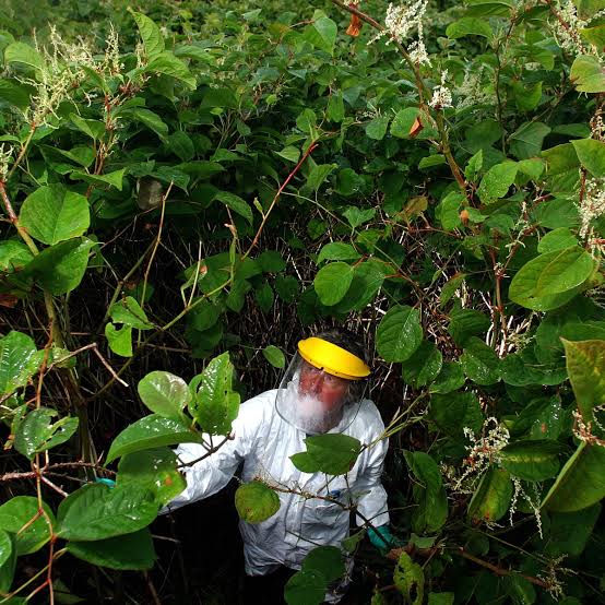
Japanese Knotweed (scientific name: REYNOUTRIA JAPONICA)A non-native plant introduced into the UK in 1850, sent to Kew Gardens. People saw it as an attractive ornamental plant and decided it would be good as a decorative privacy border for homes and gardens. This was before the severity of the plant's destructive nature was realised. It is a perennial plant with a bamboo-like stem, is evasive, and spreads rapidly. It causes severe damage to properties, as it easily grows through tarmac, concrete, and even bricks and drainage pipes.
It is highly recommended that a specialist chartered surveyor is called to survey and create a plan to eradicate this plant from your property. Their plan will consist of a herbicide treatment followed by excavation and then either burying this plant deep and contained in a special root-proof membrane.
Legionella and Water Testing
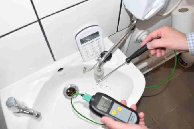
Water is a life-saving liquid, but it can harbor harmful organisms if it has not been treated or stored properly. In the UK, Legionella is a waterborne bacterium, medically known as a pathogenic Gram-negative bacterium. This means that, due to the structure of the bacteria's outer membrane, it is far more difficult to treat with broad-spectrum antibiotics. The bacterium thrives in water systems with a temperature range of 20-45 degrees Celsius, and with sources of nutrients from rust, sludge, limescale, and organic biofilms. Legionella disease can be lethal to people who are immunocompromised. Illnesses range from a chronic cough to pneumonia.
Engineers test the water by taking the very first water from the tap, then again after running the tap for a few minutes. This is known as pre- and post-flush testing. They then send the samples to the lab for testing.
Noise Assessments
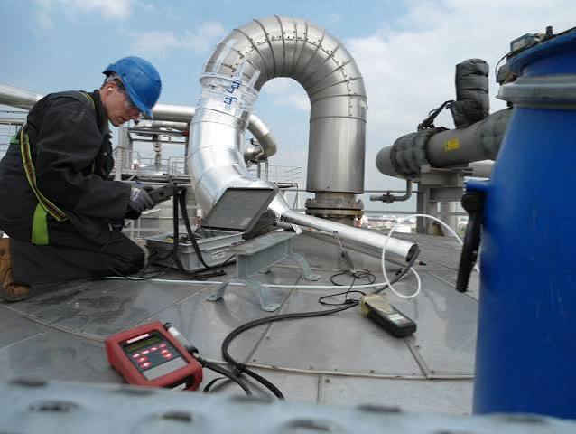
We have all had a neighbor at some point who plays loud music at 1 am or drills on the dividing wall at 11 pm. A noise nuisance is described as any noise that is 10 decibels higher than the normal background sounds. Long-term exposure to unwanted noise can greatly impact your health, including elevated stress and hypertension (high blood pressure), as well as psychological stress and deprived sleep. Noise is caused by many factors: industrial noise, parties, construction, and vehicular noise. Many developers will obtain a noise assessment report prior to construction. Noise engineers will use noise meters and microphone arrays to measure and monitor the noise level, they even have small meters called dosimeters that people wear while within their working environment to monitor the level of noise they work in.

Odour Control Assessment.
An odour that we sense is a chemical sensation picked up by the olfactory system (which is situated between the upper nasal cavity and the base of the prefrontal cortex). The majority of the odours we sense are harmless and quite often pleasant. There are others that are harmful to us, such as Chemicals, gases, and toxic fumes. These can cause respiratory damage, long-term health issues, and even death. Specialist odour engineers use state-of-the-art equipment to test and monitor these odours. Instruments like the olfactometer, electronic noses and gas detectors. The engineers send the samples off to a laboratory, when the results are back they produce a mitigation plan.
Property Flood Resilience Survey
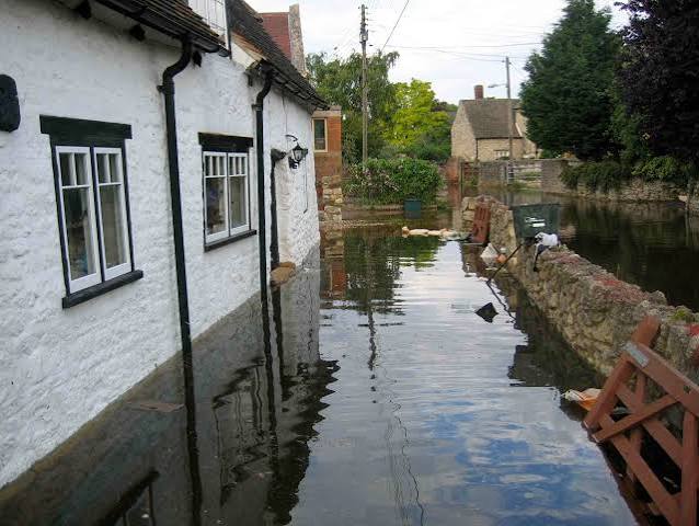
With the weather so unpredictable and the high risk of flooding these days, having a property flood resilience survey completed can be beneficial, depending on where you live, that is. A flood resilience survey is completed by qualified drainage engineers; they inspect your property and the surrounding area to identify any possible access for water to enter your property. Once the survey has been completed. They will put together a mitigation plan which outlines where the threat of flood water will come from (river, lake or sea). They will also advise on precautionary measures to be put in place, such as covering air bricks, using barriers and non-return valves, to name just a few. If you live within a historical flood risk area, having this survey completed and following up with the advised work can help to keep your buildings and contents insurance low.
Septic Tank Survey.
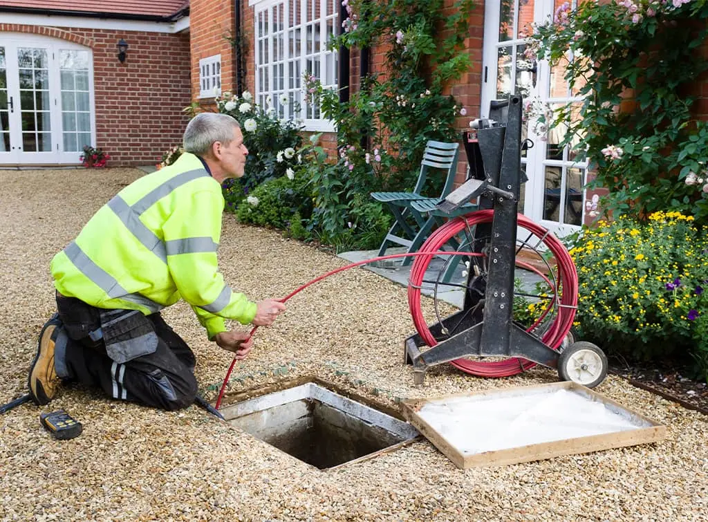
When you don't live in an area where a public drainage system is used, you will usually need to have a septic tank and system installed. A septic tank is a specialised tank situated underground; it collects all waste and foul water from your property. The tank is designed to separate the waste water into three levels:
The bottom of the tank is the settling level; this is where all the heavy solids form a sludge layer.
The surface level is where all the fats, oils, and grease form a floating coating of waxy scum.
The liquid void in the middle is the separation level. This is clear liquid that can exit the tank and drain into a drainage field.
Engineers will inspect the tank and its contents and measure levels in the tank to ensure it is not overfilled. They can empty, service, and repair the tanks as well as the drainage pipe systems.
Sustainable Drainage Systems (SuDS).
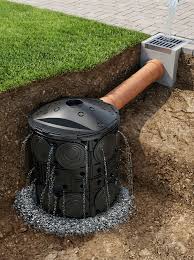
Sustainable drainage systems, more commonly known as SuDS, are a surface water runoff management strategy, which is designed to mimic the landscape's natural containment and filtration system. Rainwater runoff will be filtered naturally by plants and soils, then either stored in an attenuation unit that gradually releases water into the soil or into swales, or into a rainwater harvesting unit where the water is used for watering gardens, toilet cisterns. Drainage engineers will design the drainage strategy and each design is unique to a property. The designs are precisly calculated to reduce flooding and to save as much runoff water as possible to reduce your overall water bills.
Topographical Survey.
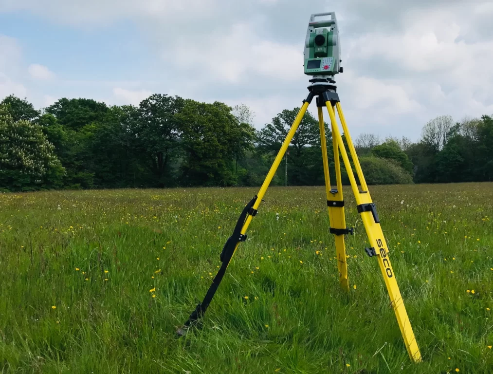
Topography is a survey that enables surveyors to record and map physical structures, features, elevations, and terrain of a specific area of land. Surveyors use state-of-the-art optical measurement equipment and drones, as well as mapping software and satellite positioning.
These surveys highlight all man-made features, ground level changes, heights, contours, and slopes. Natural elements such as brooks, shrubbery, and trees. All water features, still and running, and all visible utility access points. The surveys highlight boundaries and public highways.
Developers, builders, architects, and engineers rely on these surveys to accurately calculate dimensions of a build, the amount of materials to use, and the amount of natural elements that will need to be removed.
Tree Survey.
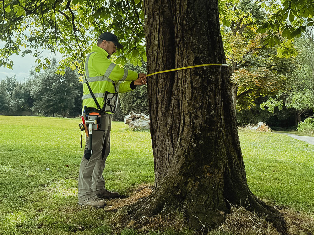
A tree survey is different from an arboriculture survey. A qualified Arborist will complete the tree survey, where they will record the findings of the survey. Included in the recorded data is the species of the tree, actual physical dimensions (height, trunk diameter,and canopy). The age of the tree, the status of the trees health, if the tree is in a root protected area(RPA) and the retention category.
These tree surveys are commonly conducted for mortgages and insurance, complience and protetive status, planning and development which will usually be a BS5837 survey, and health,safety and risk.
Television & Radio Interference Survey.
Interference on your television or radio is caused by unwanted electromagnetic signals that disrupt the audio and visual reception. Common effects include a buzzing or static sound, a loss of picture, or the image becoming frozen or pixelated.
There are three main causes of these issues. Natural sources can emit electromagnetic bursts, such as Lightning storms, solar flares and cosmic radiation. Man-made electronical devices can produce unwanted radio waves from devices like cheaply made cargers, plasma televisions, and LED lights. Overlapping infrastructures can overpowerdomestic radios and televisions, such as mobile phone masts, digital networks and amateur (CB) transmitters.
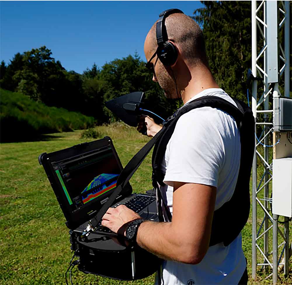
Engineers will use detectional antennas and spectrum analysers, to monitor the airwaves and detect the interference issues.
Unexploded Ordnance Survey.
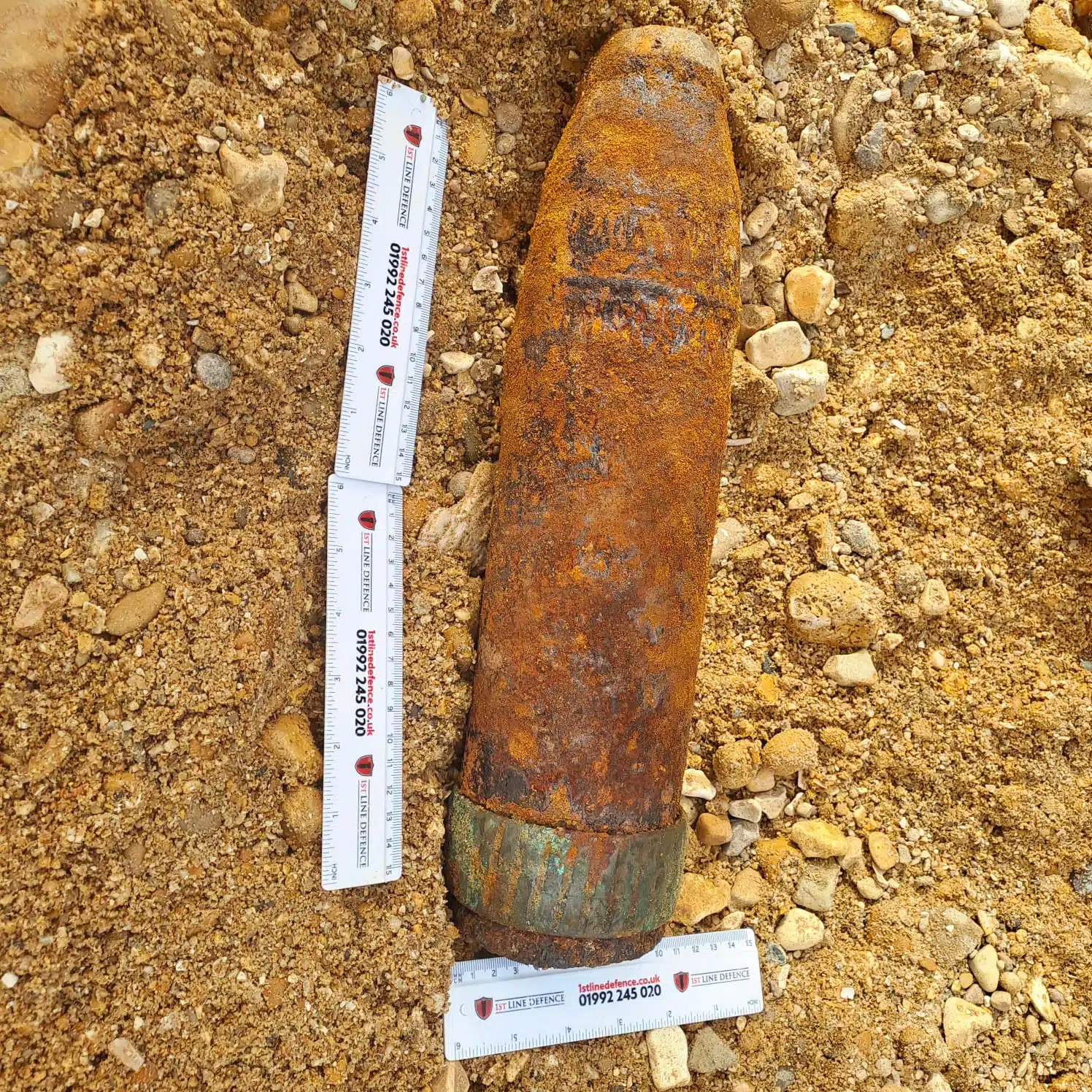
We all know that during World war II thounds or bombs and other ordnance were dropped on this country, although the majority exploded there was a percentage that went unexploded and never found. Unexploded ordnance refers to any form of explosive weaponary that had been fused primed and armed ready for destruction. As many were not found at the time by the end of the war, they were forgotten about. But years of being buried they start to decay and deteriorate and become unstable and volatile.
Specialist ordnance engineersare trained and have the high-tech equipment to deal with this ordnance.
There are two phases to UXO detection. Phase 1 is usually a historical research, they will look at bombing records, military mapping and aerial photography.
Phase 2 is completed on the site as this is a more intrusive investigation, which includes site walk overs, visiual inspections and actual removal of the insendary device.
Underground Utility Surveys.
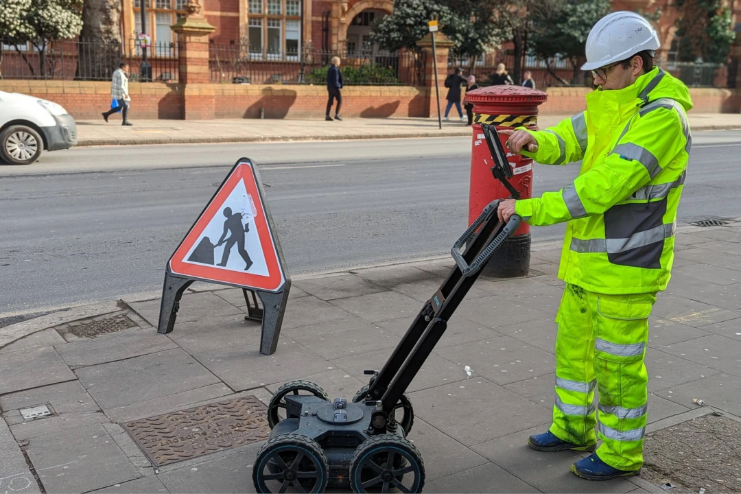
The essentail public services that all of us use on a daily basis such as water, gas, electricity, and telecommunications are predominently laid underground. This is for safety, less intrusive for people and their dwellings. Civil engineers are employed and trained to maintain and repair these utility structures when they go wrong or have a fault. The engineers are ususally known as civil subsurface utility engineers or (SUE). They locate these utilities either by a mapping system or if the utilities are off the grid they will use specialist equipment such as ground penetrating radar (GPR) Electromagnetic Locatiing (EML) and Vacuum Excavation. The engineers will use a colour coding system to identify the utilities.
RED = Electricity Cables.
YELLOW = Gas or Oil Pipelines.
BLUE = Drinking Water.
ORANGE = Telecommunications/Fire Optics.
GREEN = Sewers and Drainage.